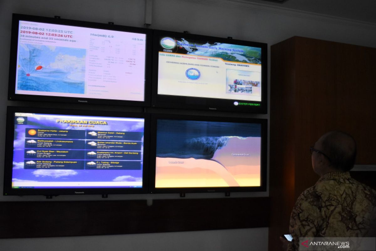
"The Unites States Geological Survey (USGS) records the earthquake at coordinates 104,806° East and 7.29° South with a magnitude of M6.8 at a depth of 42.8 km," Head of the Volcanology and Geological Disaster Mitigation Center (PVMBG) of the Ministry of Energy and Mineral Resources (ESDM) Kasbani said in a statement received by Antara here Friday night.
The earthquake occurred Friday, August 2, 2019, at 19:03:21 local time. The epicenter of the earthquake was located at coordinates 104.58° eastern longitude and 7.54° southern latitude, with a magnitude of M7.4 at a depth of 10 km, 137 km southwest of Sumur, Banten, BMKG noted.
The epicenter of the earthquake was in the sea. The area bordering the epicenter is the southern coastal areas of Banten, West Java and Lampung, which are composed by sediment rocks from Quaternary period.
The Quaternary rocks were weathered and therefore the structures were loose and broken. These characteristics led to the strengthening of the earthquake shocks.
The BMKG has issued a tsunami warning with a standby status in South Pandeglang and southern coastal areas of Lampung and an alert status in North Pandeglang, Lebak, western coastal areas of Lampung, and the coastal areas in Bengkulu. The tremors were felt with III-IV MMI intensity in Pandeglang and southern coastal areas of Lampung; II-III MMI in Jakarta, Bandung (West Java), Depok (West Java) and Yogyakarta.
There were no reports of casualties, the Regional Disaster Management Agency (BPBD) of Pandeglang District, Banten noted.
"There have been no reports. We have asked Head of Sumur sub-district to evacuate people as there is a tsunami potential," Head of Rehabilitation and Reconstruction Section of Pandeglaang's BPBD Lilis said in Pandeglang, Friday.


